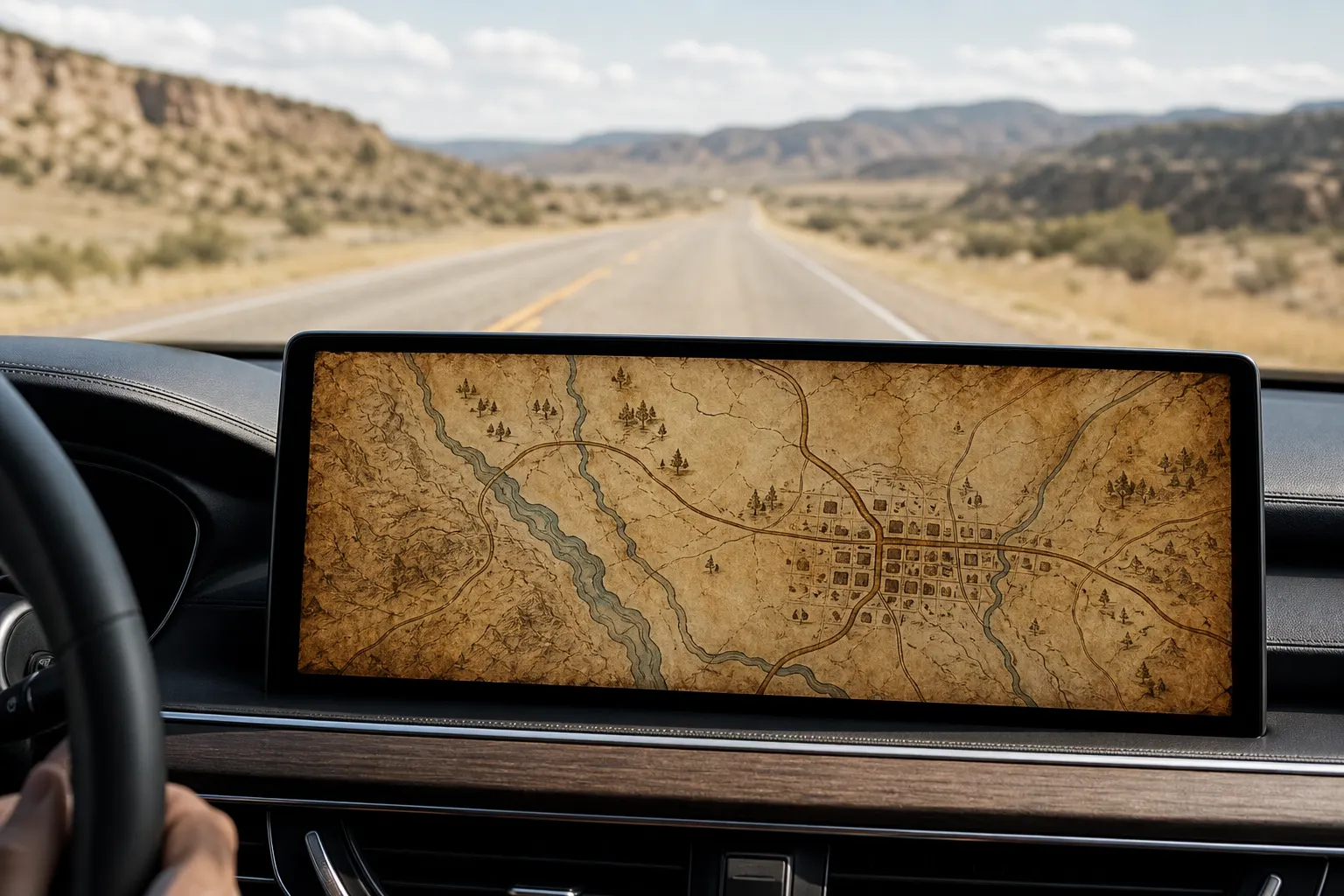
What San Francisco Looks Like as a Red Dead Map
27 August 2026 · 5 min read
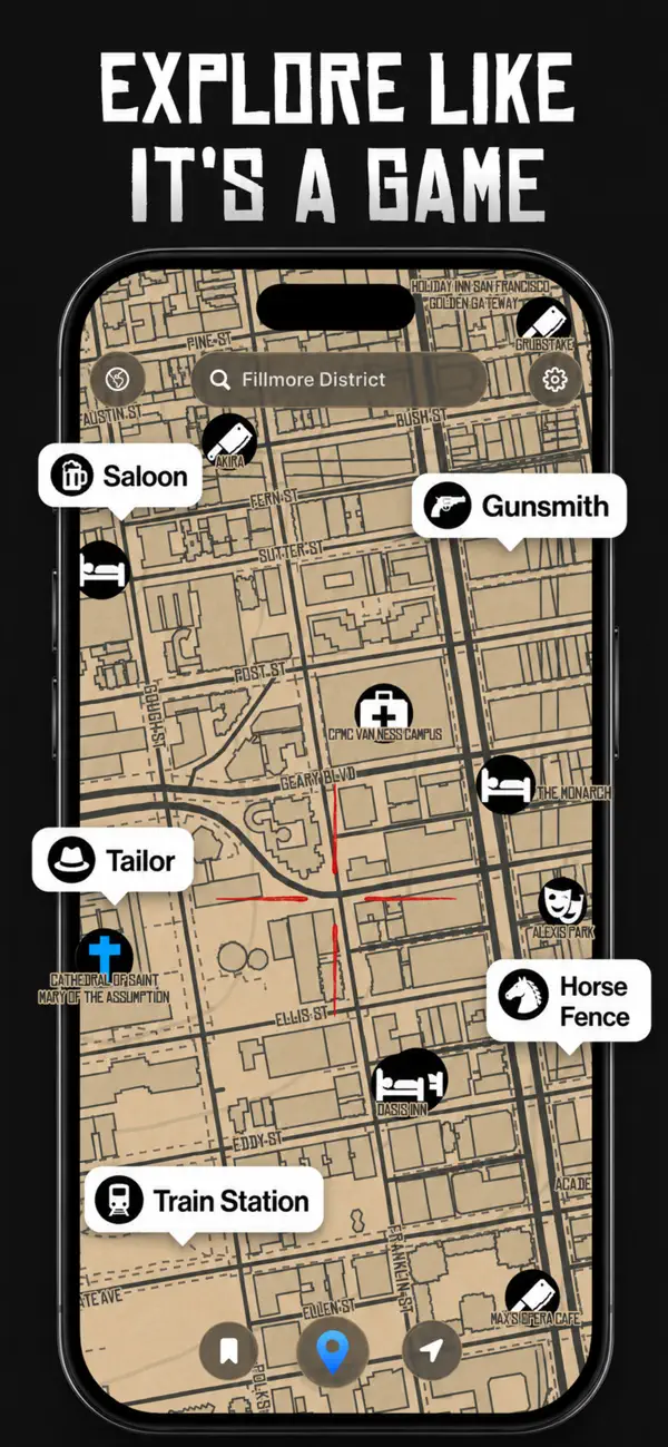
In Game Maps IRL the Fillmore District of San Francisco redraws as a tan paper map named Saint Denis: Bush, Geary, Ellis, and Eddy in ink, a red crosshair on your pin, and blips labeled Saloon, Gunsmith, Tailor, Horse Fence, and Train Station. That is the Red Dead-inspired theme on real GPS, not a screenshot from the game and not a licensed Rockstar map.
Fillmore on old paper
The listing shot is sepia and dust, the kind of atlas you would unfold on a wagon seat. Street casings stay true to the Western Addition grid. Hills still pinch the blocks; the paper just pretends they are frontier lots. Bush and Geary run as named arterials. Ellis and Eddy fill the mid-grid. The ground reads as stained pulp instead of satellite grey.
A glowing red crosshair pulses on the current location, the same way a western HUD marks the player. Contrast is high on purpose. From a car seat you see the next junction as a dark ink stroke before you read the label. Follow the painted road signs on Geary anyway. The paper is a skin.
How to open the same view
- Open Game Maps IRL. Install Game Maps IRL and grant location.
- Search Fillmore or San Francisco. Type Fillmore District, or pan to Bush and Geary, so the paper map covers the same grid as the listing shot.
- Select Saint Denis. Tap layers and pick Saint Denis. Streets turn tan. A red crosshair sits on your position.
- Read the blips. Look for Saloon, Gunsmith, Tailor, Horse Fence, and Train Station on real footprints. Then set a destination if you want turn-by-turn.
The Mission, North Beach, and the Sunset District take the same treatment. A Victorian row becomes a tight ink block. A park reads as open paper. BART stations do not become locomotives; Train Station is a themed label on a real transit footprint. Horse Fence is a joke on a city parcel, not a livestock yard you can ride to.
Put Saint Denis on the next SF drive and see Geary drawn like a frontier main street. Routing stays the same class of turn-by-turn as the other themes.


Blips versus a real directory
Saloon, Gunsmith, and Tailor are game-styled POI names, not a claim that Fillmore still has a 1899 gun shop on that corner. They sit where the theme’s marker set lands on the live map. For hours, reviews, and transit, use Apple Maps or Google Maps. Game Maps IRL wins the paper look and the playful blips. Google still wins the business database. That split is spelled out in the Google comparison.
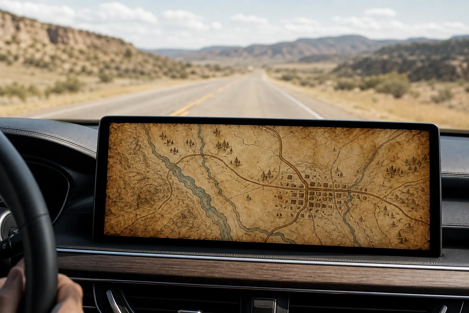
Saint Denis also runs on the dash. The Red Dead map on CarPlay and the Android Auto walkthrough cover pairing and the in-car unlock. Theme changes use the layers control and do not drop the route. The app is unofficial: original art, no publisher affiliation.
If you grew up pausing a western open world to stare at a parchment atlas, Fillmore in Saint Denis is that muscle memory on a phone. The one-way arrows on Bush are still one-way arrows.
Frequently asked questions
What is the Red Dead theme called in the app?
Saint Denis. That is the layers name for the tan paper map, red crosshair, and frontier-town blips. Red Dead Redemption is the look people search for. Saint Denis is the switch you tap.
Which San Francisco streets are in the listing screenshot?
The Fillmore District, with Bush, Geary, Ellis, and Eddy labeled on the paper. Saloon, Gunsmith, Tailor, Horse Fence, and Train Station sit as ink blips on those real blocks.